Skeda:Arctica surface.jpg
Madhësia e këtij shikimi: 623 × 599 pixel. Rezolucione të tjera: 249 × 240 pixel | 499 × 480 pixel | 978 × 941 pixel.
Dokument origjinal ((përmasa 978 × 941 px, madhësia skedës: 111 KB, lloji MIME: image/jpeg))
| Kjo skedë është prej Wikimedia Commons dhe mund të përdoret nga projekte të tjera. Përshkrimi në këtë skedë në këtë faqe nuk është treguar më poshtë. | Shko tek faqja përshkruese në Commons |
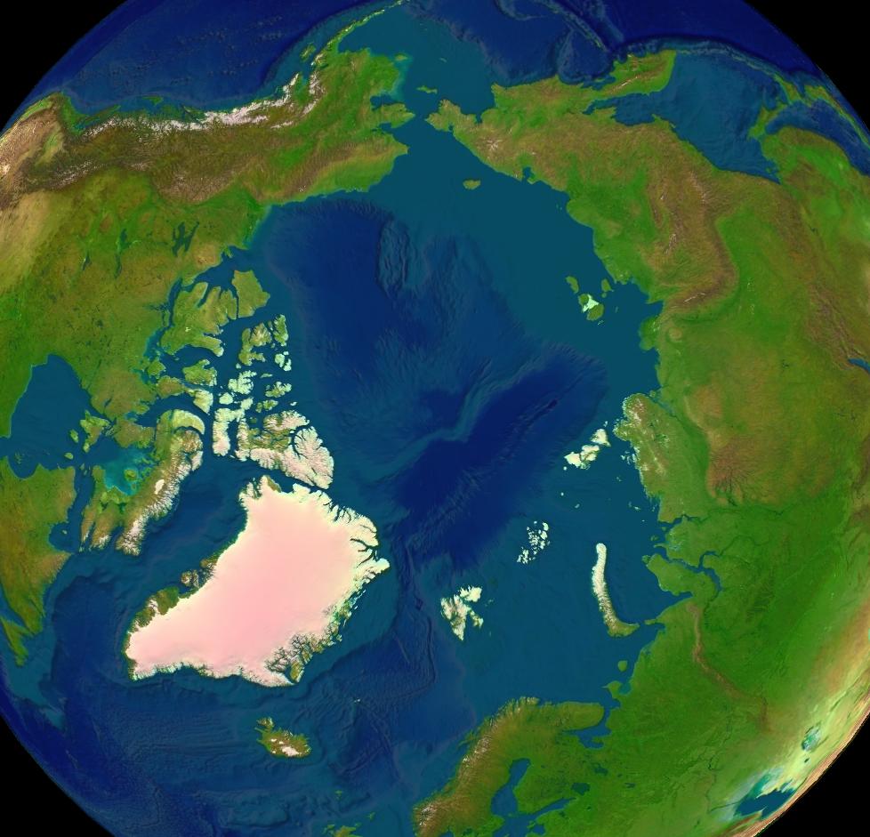
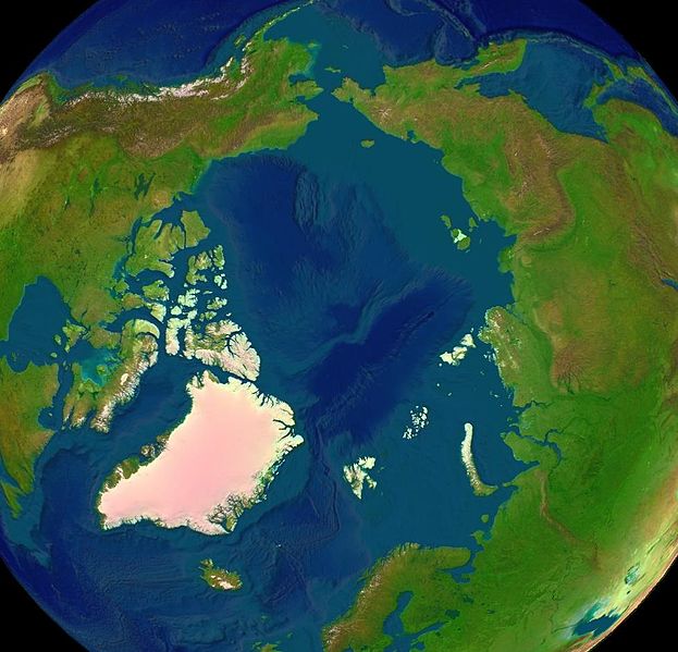
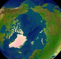
Satellite image of the Arctic surface.
| This image is in the public domain because it is a screenshot from NASA’s globe software World Wind using a public domain layer, such as Blue Marble, MODIS, Landsat, SRTM, USGS or GLOBE.
|
 |
Historiku skedës
Shtypni mbi një datë/kohë për ta parë skedën siç ishte atëherë.
| Data/Koha | Miniaturë | Përmasat | Përdoruesi | Koment | |
|---|---|---|---|---|---|
| e tanishme | 16 qershor 2005 13:43 | | 978 × 941 (111 KB) | Rex | {{World Wind}} Category:Arctica |
Lidhje skedash
Këto faqe lidhen tek kjo skedë:
Përdorimi global i skedës
Kjo skedë përdoret nga Wiki të tjera në vijim:
- Përdorimi në ang.wikipedia.org
- Përdorimi në ar.wikipedia.org
- Përdorimi në ast.wikipedia.org
- Përdorimi në az.wikipedia.org
- Përdorimi në ba.wikipedia.org
- Përdorimi në bg.wikipedia.org
- Përdorimi në bh.wikipedia.org
- Përdorimi në br.wikipedia.org
- Përdorimi në ca.wikipedia.org
- Përdorimi në ce.wikipedia.org
- Përdorimi në da.wikipedia.org
- Përdorimi në de.wikipedia.org
- Përdorimi në de.wiktionary.org
- Përdorimi në el.wikipedia.org
- Përdorimi në el.wiktionary.org
- Përdorimi në en.wikipedia.org
- Talk:Causes of climate change
- Talk:Inuit
- Talk:Inuit languages
- Talk:Newfoundland and Labrador
- Talk:Nostratic languages
- Talk:North Sea
- Arctic
- Talk:Aleuts
- Talk:Nunavut
- Talk:Svalbard
- Talk:Ellesmere Island
- Talk:Sámi languages
- Talk:Whale
- Talk:Sámi peoples
- Talk:Northern Canada
- Talk:Narwhal
- Talk:Alaska
- Talk:Arctic Circle
- Talk:Parka
- Talk:Orca
- Talk:Sápmi
- Talk:Nunavik
- Talk:Beringia
- Talk:Steller sea lion
- Talk:Greenland
- Talk:Yukon
- Talk:Svalbard and Jan Mayen
- Talk:Inuvik
- Talk:Beluga whale
- Talk:Tundra
Shikoni më shumë përdorim global të kësaj skede.