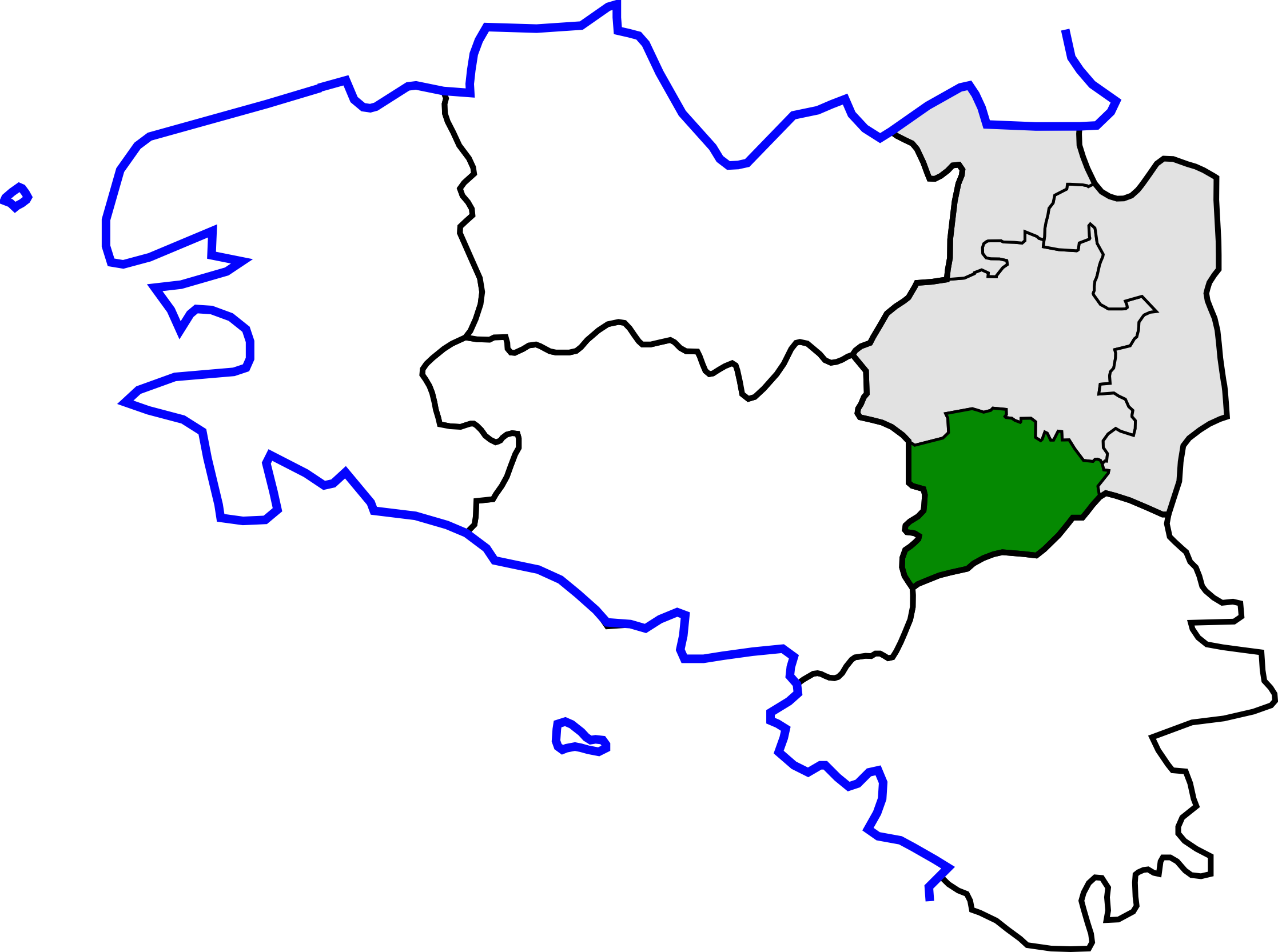
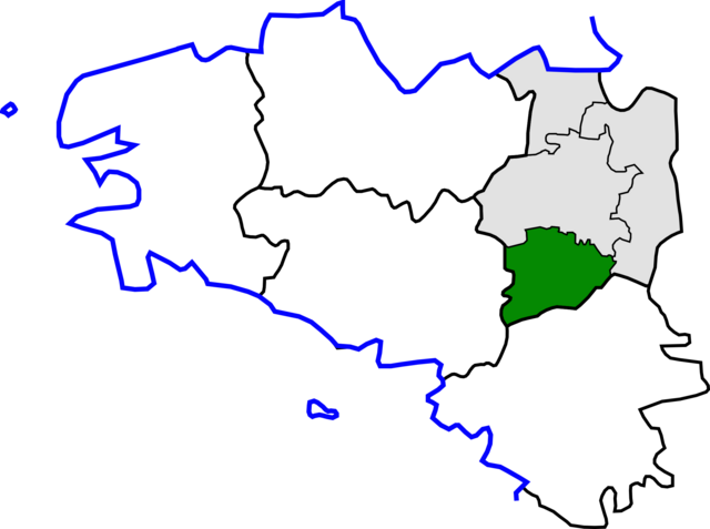
Skeda:Arrondissement de Redon.png
Madhësia e këtij shikimi: 800 × 596 pixel. Rezolucione të tjera: 320 × 239 pixel | 640 × 477 pixel | 1.024 × 763 pixel | 1.280 × 954 pixel | 2.235 × 1.666 pixel.
Dokument origjinal ((përmasa 2.235 × 1.666 px, madhësia skedës: 198 KB, lloji MIME: image/png))
| Kjo skedë është prej Wikimedia Commons dhe mund të përdoret nga projekte të tjera. Përshkrimi në këtë skedë në këtë faqe nuk është treguar më poshtë. | Shko tek faqja përshkruese në Commons |
Përmbledhje
| Përshkrimi | |
| Data | |
| Burimi | Own work based on File:Canton de Briec(Position).png and File:Ille-et-Vilaine cantons.svg |
| Autori | Yun |
.png)
Licencim
| Unë,krijuesi i kësaj pune, e lëshoj këtë punë në public domain. Kjo aplikohet në të gjithë botën. Në disa vende kjo mund të mos jetë e mundur ligjërisht; nëse është kështu: Unë i garantoj çdokujt të drejtën për ta përdorur këtë punë për çdo qëllim, pa asnjë kusht, përveç rasteve kur këto kushte janë të kërkuara nga ligji. |
Historiku skedës
Shtypni mbi një datë/kohë për ta parë skedën siç ishte atëherë.
| Data/Koha | Miniaturë | Përmasat | Përdoruesi | Koment | |
|---|---|---|---|---|---|
| e tanishme | 15 tetor 2010 17:07 | | 2.235 × 1.666 (198 KB) | Pymouss | == int:filedesc == == int:filedesc == Hizivadur goude an adreizhadur 2010 / Update 2010 |
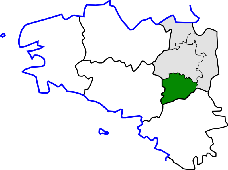
| 30 mars 2010 23:51 |  | 418 × 314 (36 KB) | Yun | {{Information |Description={{br|1=Kartenn lec'hiañ arondisamantoù Breizh, er Frañs}} {{en|1=Map for localisazion of arrondissements of Brittany, in France}} |Source=Own work based on [[:File:Canton de Briec(Posit |
Lidhje skedash
Këto faqe lidhen tek kjo skedë:
Përdorimi global i skedës
Kjo skedë përdoret nga Wiki të tjera në vijim:
- Përdorimi në fr.wikipedia.org
- Përdorimi në pl.wikipedia.org