Skeda:Epirus landsat.jpg

Madhësia e këtij shikimi: 800 × 600 pixel. Rezolucione të tjera: 320 × 240 pixel | 640 × 480 pixel | 1.024 × 768 pixel.
Dokument origjinal ((përmasa 1.024 × 768 px, madhësia skedës: 469 KB, lloji MIME: image/jpeg))
| Kjo skedë është prej Wikimedia Commons dhe mund të përdoret nga projekte të tjera. Përshkrimi në këtë skedë në këtë faqe nuk është treguar më poshtë. | Shko tek faqja përshkruese në Commons |
Përmbledhje
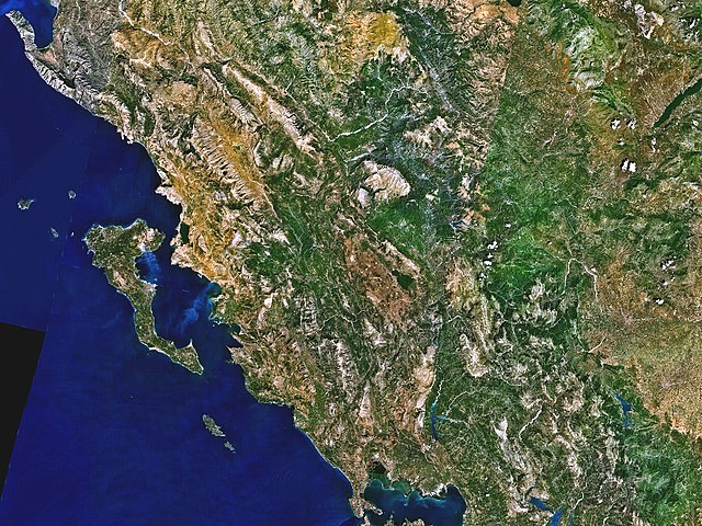
| Përshkrimi |
English: Landsat 7 image of Epirus |
|||
| Data | ||||
| Burimi | Captured and cropped from NASA World Wind. | |||
| Autori | NASA | |||
| Leja (Ripërdor këtë skedë) |
|

Historiku skedës
Shtypni mbi një datë/kohë për ta parë skedën siç ishte atëherë.
| Data/Koha | Miniaturë | Përmasat | Përdoruesi | Koment | |
|---|---|---|---|---|---|
| e tanishme | 17 shtator 2006 23:33 | | 1.024 × 768 (469 KB) | ChrisO | Satellite image of Epirus, taken by NASA's Landsat 7 satellite. {{PD-WorldWind}} |
| 17 shtator 2006 23:28 |  | 1.024 × 768 (437 KB) | ChrisO | Satellite image of Epirus, taken by NASA's Landsat 7 satellite. {{PD-WorldWind}} |
Lidhje skedash
Këto faqe lidhen tek kjo skedë:
Përdorimi global i skedës
Kjo skedë përdoret nga Wiki të tjera në vijim:
- Përdorimi në ca.wikipedia.org
- Përdorimi në cs.wikipedia.org
- Përdorimi në de.wikipedia.org
- Përdorimi në en.wikipedia.org
- Përdorimi në eo.wikipedia.org
- Përdorimi në et.wikipedia.org
- Përdorimi në hu.wikipedia.org
- Përdorimi në it.wikipedia.org
- Përdorimi në ja.wikipedia.org
- Përdorimi në ko.wikipedia.org
- Përdorimi në la.wikipedia.org
- Përdorimi në nl.wikipedia.org
- Përdorimi në pl.wiktionary.org
- Përdorimi në ru.wikipedia.org
- Përdorimi në sh.wikipedia.org
- Përdorimi në sr.wikipedia.org
- Përdorimi në www.wikidata.org