Skeda:Europe satellite image location map Britain To Turkey.jpg
Madhësia e këtij shikimi: 773 × 600 pixel. Rezolucione të tjera: 309 × 240 pixel | 619 × 480 pixel | 990 × 768 pixel | 1.280 × 993 pixel | 2.560 × 1.986 pixel | 3.807 × 2.954 pixel.
Dokument origjinal ((përmasa 3.807 × 2.954 px, madhësia skedës: 1,8 MB, lloji MIME: image/jpeg))
| Kjo skedë është prej Wikimedia Commons dhe mund të përdoret nga projekte të tjera. Përshkrimi në këtë skedë në këtë faqe nuk është treguar më poshtë. | Shko tek faqja përshkruese në Commons |
| Përshkrimi |
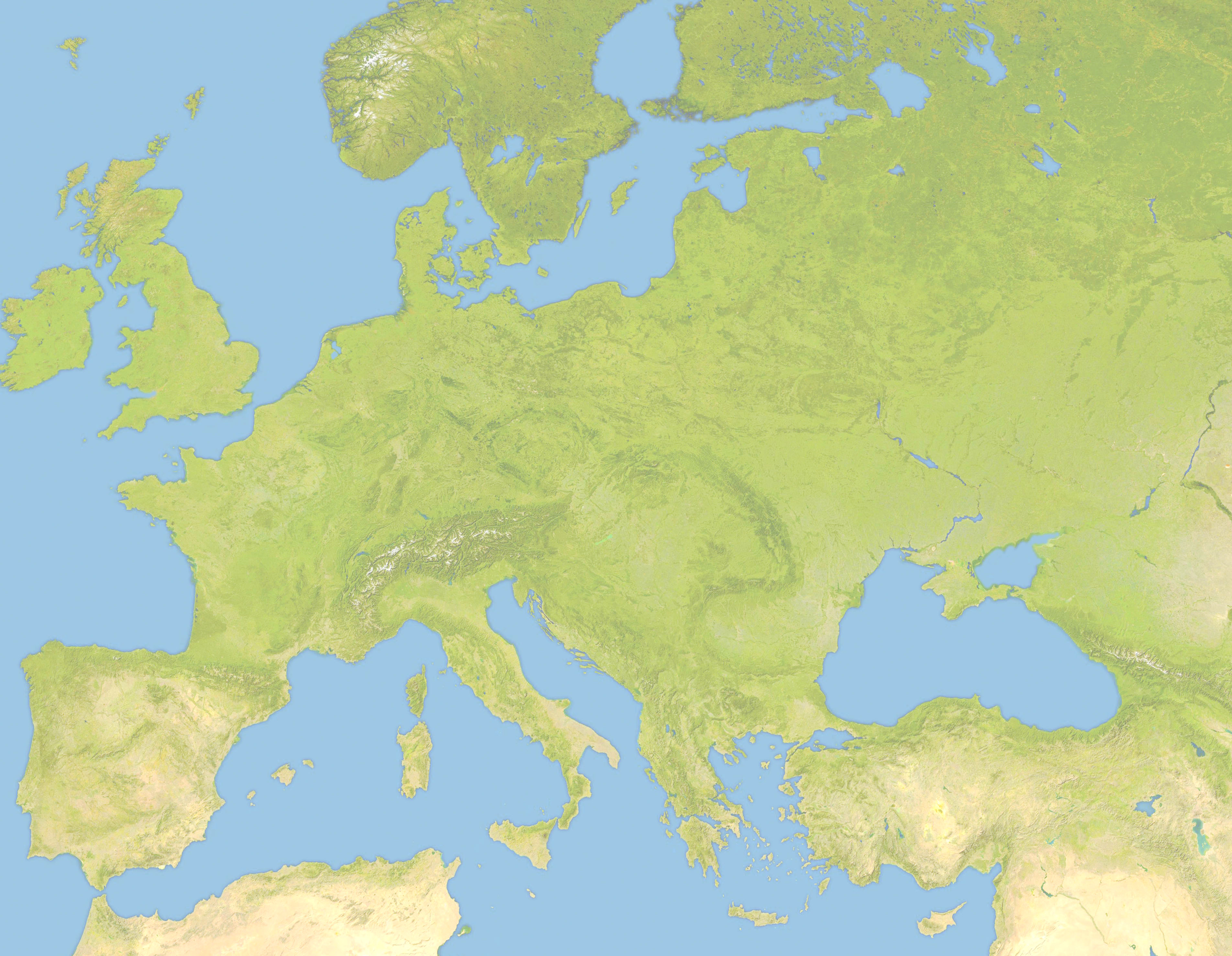
Deutsch: Positionskarte von Europa, Satellitenbild Quadratische Plattkarte, N-S-Streckung 150 %. Geographische Begrenzung der Karte: *N: 63.5° N * S: 34° N * W: -10.25° W * E: 46.8° E English: Location map of Europe, satellite image Equirectangular projection, N/S stretching 150 %. Geographic limits of the map: * N: 63.5° N * S: 34° N * W: -10.25° W * E: 46.8° E |
| Data | (UTC) |
| Burimi | |
| Autori |
|
| This is a retouched picture, which means that it has been digitally altered from its original version. Modifications: Lighter and Geographic limits of the map: * N: 63.5° N * S: 34° N * W: -10.25° W * E: 46.8° E. The original can be viewed here: Europe satellite image location map.jpg:
|
Unë, krijuesi i kësaj pune, e publikoj këtu në bazë të licensës në vijim:
| Unë,krijuesi i kësaj pune, e lëshoj këtë punë në public domain. Kjo aplikohet në të gjithë botën. Në disa vende kjo mund të mos jetë e mundur ligjërisht; nëse është kështu: Unë i garantoj çdokujt të drejtën për ta përdorur këtë punë për çdo qëllim, pa asnjë kusht, përveç rasteve kur këto kushte janë të kërkuara nga ligji. |
Regjistri origjinal i ngarkimeve
This image is a derivative work of the following images:
- File:Europe_satellite_image_location_map.jpg licensed with PD-self
- 2008-09-28T12:40:05Z NordNordWest 5668x3800 (1915310 Bytes) {{Information |Description= {{de|Positionskarte von [[:de:Europa|Europa]], Satellitenbild}} Quadratische Plattkarte, N-S-Streckung 150 %. Geographische Begrenzung der Karte: * N: 74° N * S: 34° N * W: 25° W * O: 60° O {{e
Uploaded with derivativeFX
Historiku skedës
Shtypni mbi një datë/kohë për ta parë skedën siç ishte atëherë.
| Data/Koha | Miniaturë | Përmasat | Përdoruesi | Koment | |
|---|---|---|---|---|---|
| e tanishme | 22 qershor 2010 21:57 | | 3.807 × 2.954 (1,8 MB) | Victuallers | {{Information |Description={{de|Positionskarte von Europa, Satellitenbild}} Quadratische Plattkarte, N-S-Streckung 150 %. Geographische Begrenzung der Karte: * N: 72° N * S: 34° N * W: 25° W * O: 60° O {{en|Location map of [[:en:Europe| |
Lidhje skedash
Këto faqe lidhen tek kjo skedë:
Përdorimi global i skedës
Kjo skedë përdoret nga Wiki të tjera në vijim:
- Përdorimi në ar.wikipedia.org
- Përdorimi në az.wikipedia.org
- Përdorimi në ba.wikipedia.org
- Përdorimi në be.wikipedia.org
- Përdorimi në ceb.wikipedia.org
- Përdorimi në ce.wikipedia.org
- Përdorimi në cv.wikipedia.org
- Përdorimi në da.wikipedia.org
- Përdorimi në en.wikipedia.org
- Third Crusade
- Battle of Pydna (148 BC)
- Battle of Narbonne (436)
- Third Battle of Tapae
- Domitian's Dacian War
- Battle of Adamclisi
- Battle of Rozgony
- Battle of Ostrovo
- Battle of Rhone Crossing
- Battle of Poznań (1704)
- Battle of Sarmizegetusa
- Siege of 's-Hertogenbosch (1601)
- History of the Expedition of the Emperor Frederick
- Siedlec Desert
- Battle of Roßbrunn
- Siege of Geertruidenberg (1351–1352)
- Përdorimi në fa.wikipedia.org
- Përdorimi në fr.wikipedia.org
- Përdorimi në inh.wikipedia.org
- Përdorimi në it.wikipedia.org
- Përdorimi në ka.wikipedia.org
- Përdorimi në kn.wikipedia.org
- Përdorimi në ml.wikipedia.org
- Përdorimi në pt.wikipedia.org
- Përdorimi në ru.wikipedia.org
- Përdorimi në tr.wikipedia.org
Shikoni më shumë përdorim global të kësaj skede.