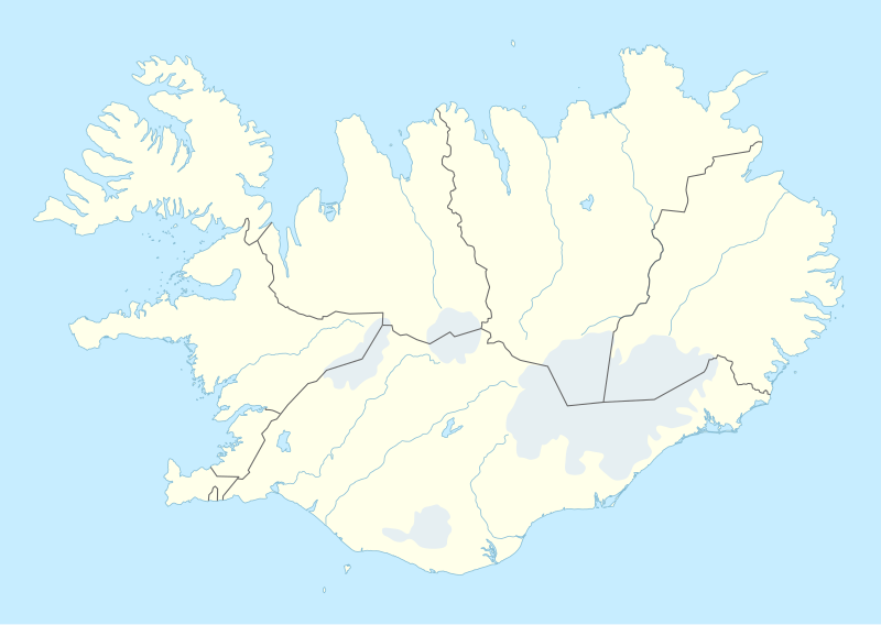
Skeda:Iceland adm location map.svg

Dokument origjinal (skedë SVG, fillimisht 1.186 × 841 pixel, madhësia e skedës: 145 KB)
| Kjo skedë është prej Wikimedia Commons dhe mund të përdoret nga projekte të tjera. Përshkrimi në këtë skedë në këtë faqe nuk është treguar më poshtë. | Shko tek faqja përshkruese në Commons |
Përmbledhje
| Përshkrimi |
Deutsch: Positionskarte von Island
English: Location map of Iceland
|
||||||||||||
| Data | |||||||||||||
| Burimi |
Own work using:
|
||||||||||||
| Autori | NordNordWest | ||||||||||||

|
This map has been made or improved in the German Kartenwerkstatt (Map Lab). You can propose maps to improve as well.
|
Licencim
Usage of this file with:

explanatory notes: Legally binding is only the full legalcode. For a free usage I recommend to respect the following licence conditions:
1. Provide my name as given above: NordNordWest,
2. a copy of, or the URI for, the applicable license: https://creativecommons.org/licenses/by-sa/3.0/de/legalcode,
3. the title of the work,
4. in the case of an adaptation, a credit identifying the use of the work in the adaptation.
This license and the rights granted hereunder will terminate automatically upon any breach by you of the terms of this license. Any of the above conditions can be waived if you get permission from the copyright holder. If you have questions or wish differing conditions, please contact me through nnwest or my discussion page ![]() t-online.de
t-online.de
- Je i lirë të:
- ta shpërndani – ta kopjoni, rishpërndani dhe përcillni punën
- t’i bëni “remix” – të përshtatni punën
- Sipas kushteve të mëposhtme:
- atribuim – Duhet t’i jepni meritat e duhura, të siguroni një lidhje për tek licenca dhe të tregoni nëse janë bërë ndryshime. Këtë mund ta bëni në ndonjë mënyrë të arsyeshme, por jo në ndonjë mënyrë që sugjeron se licencuesi ju del zot juve apo përdorimit tuaj.
- share alike – Nëse bëni një “remix”, e shndërroni, ose ndërtoni duke u bazuar te materiali, duhet t’i shpërndani kontributet tuaja sipas të njëjtës licencë ose një të tille të përputhshme me origjinalen.

Historiku skedës
Shtypni mbi një datë/kohë për ta parë skedën siç ishte atëherë.
| Data/Koha | Miniaturë | Përmasat | Përdoruesi | Koment | |
|---|---|---|---|---|---|
| e tanishme | 11 nëntor 2022 20:25 | | 1.186 × 841 (145 KB) | NordNordWest | upd |
| 19 nëntor 2018 20:46 |  | 1.186 × 841 (145 KB) | NordNordWest | complete version again | |
| 19 nëntor 2018 05:26 |  | 1.186 × 841 (226 KB) | A Red Cherry | Many border shifts; updated to a newer SVG locator map | |
| 15 shtator 2014 19:24 |  | 1.186 × 841 (145 KB) | NordNordWest | == {{int:filedesc}} == {{Information |Description= {{de|1=Positionskarte von Island}} {{en|1=Location map of Iceland}} {{Location map series N |top=66.8 |bottom=63.1 |left=-25 |right=-13 }} |Source={{Own using}} * United States National Imagery and Map... |
Lidhje skedash
S’ka faqe që përdorin këtë kartelë.
Përdorimi global i skedës
Kjo skedë përdoret nga Wiki të tjera në vijim:
- Përdorimi në af.wikipedia.org
- Përdorimi në an.wikipedia.org
- Përdorimi në ast.wikipedia.org
- Eyjafjallajökull
- Eyjafjöll
- Þingvellir
- Keflavík
- Eyjafjörður
- Snæfellsnes
- Faxaflói
- Blönduósbær
- Skógafoss
- Faxi
- Dynjandi
- Seljalandsfoss
- Parque nacional Skaftafell
- Gullfoss
- Glymur
- Drangajökull
- Viðey
- Geirfuglasker
- Elliðaey
- Eldey
- Reikiavik
- Faloteca islandesa
- Kverkfjöll
- Alþingishúsið
- Laki
- Módulu:Mapa de llocalización/datos/Islandia
- Laugardalsvöllur
- Úrvalsdeild Karla
- Aeropuertu Internacional de Keflavík
- Aeropuertu d'Akureyri
- Aeropuertu de Bíldudalur
- Aeropuertu d'Egilsstaðdir
- Aeropuertu de Reikiavik
Shikoni më shumë përdorim global të kësaj skede.