Skeda:Le Pont-Neuf de Toulouse.jpg

Madhësia e këtij shikimi: 800 × 534 pixel. Rezolucione të tjera: 320 × 214 pixel | 640 × 427 pixel | 1.024 × 683 pixel | 1.280 × 854 pixel | 2.560 × 1.709 pixel | 7.360 × 4.912 pixel.
Dokument origjinal ((përmasa 7.360 × 4.912 px, madhësia skedës: 19,26 MB, lloji MIME: image/jpeg))
| Kjo skedë është prej Wikimedia Commons dhe mund të përdoret nga projekte të tjera. Përshkrimi në këtë skedë në këtë faqe nuk është treguar më poshtë. | Shko tek faqja përshkruese në Commons |
Përmbledhje
|
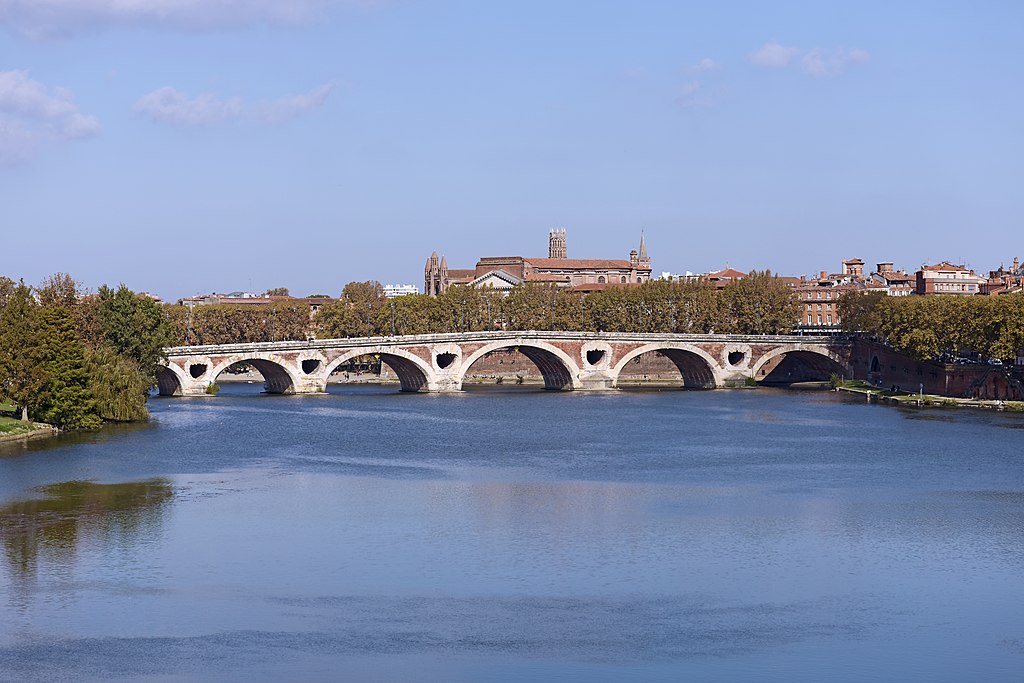
The Pont-Neuf, in Toulouse, Southern exposure. | |||||||||||||||||||||||||||||||||||||||
|
Përmbledhje
| |||||||||||||||||||||||||||||||||||||||


Historiku skedës
Shtypni mbi një datë/kohë për ta parë skedën siç ishte atëherë.
| Data/Koha | Miniaturë | Përmasat | Përdoruesi | Koment | |
|---|---|---|---|---|---|
| e tanishme | 29 tetor 2014 20:03 | | 7.360 × 4.912 (19,26 MB) | Archaeodontosaurus | {{Information |Description ={{en|1=c}} |Source ={{own}} |Author =Archaeodontosaurus |Date = |Permission = |other_versions = }} |
Lidhje skedash
Këto faqe lidhen tek kjo skedë:
Përdorimi global i skedës
Kjo skedë përdoret nga Wiki të tjera në vijim:
- Përdorimi në an.wikipedia.org
- Përdorimi në ar.wikipedia.org
- Përdorimi në arz.wikipedia.org
- Përdorimi në az.wikipedia.org
- Përdorimi në be-tarask.wikipedia.org
- Përdorimi në be.wikipedia.org
- Përdorimi në bg.wikipedia.org
- Përdorimi në ca.wikipedia.org
- Garona
- Portal:Occitània/Imatges
- Plantilla:Imatge occitana de juliol
- Llista de monuments de Tolosa
- Pont Nou de Tolosa de Llenguadoc
- Llista de topònims de Naut Aran
- Llista de topònims d'Arres
- Llista de topònims de Bausen
- Llista de topònims d'es Bòrdes
- Llista de topònims de Bossòst
- Llista de topònims de Canejan
- Llista de topònims de Les
- Llista de topònims de Vilamòs
- Përdorimi në ca.wikiquote.org
- Përdorimi në ceb.wikipedia.org
- Përdorimi në cs.wikipedia.org
- Përdorimi në cv.wikipedia.org
- Përdorimi në cy.wikipedia.org
- Përdorimi në da.wikipedia.org
- Përdorimi në de.wikipedia.org
- Përdorimi në de.wikivoyage.org
- Përdorimi në el.wikipedia.org
- Përdorimi në en.wikipedia.org
- Përdorimi në en.wiktionary.org
- Përdorimi në es.wikipedia.org
Shikoni më shumë përdorim global të kësaj skede.