Skeda:New Zealand location map.svg

Size of this PNG preview of this SVG file: 475 × 599 pixel. Rezolucione të tjera: 190 × 240 pixel | 380 × 480 pixel | 609 × 768 pixel | 812 × 1.024 pixel | 1.623 × 2.048 pixel | 1.928 × 2.432 pixel.
Dokument origjinal (skedë SVG, fillimisht 1.928 × 2.432 pixel, madhësia e skedës: 220 KB)
| Kjo skedë është prej Wikimedia Commons dhe mund të përdoret nga projekte të tjera. Përshkrimi në këtë skedë në këtë faqe nuk është treguar më poshtë. | Shko tek faqja përshkruese në Commons |
Përmbledhje
| Përshkrimi |
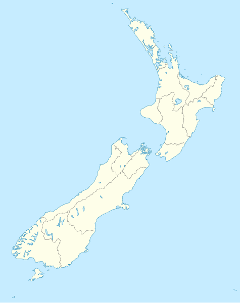
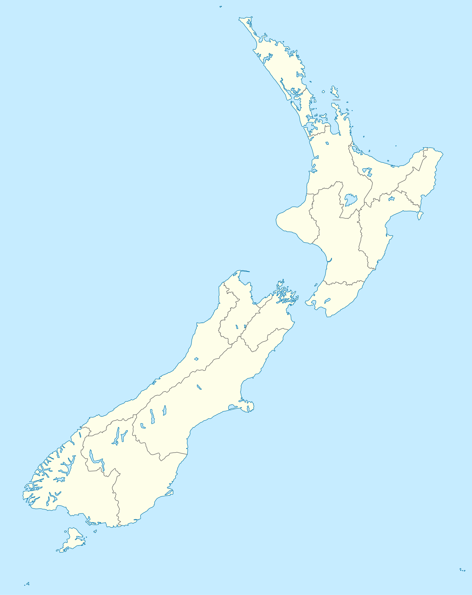
Deutsch: Positionskarte von Neuseeland
Quadratische Plattkarte, N-S-Streckung 120 %. Geographische Begrenzung der Karte:
English: Location map of New Zealand
Equirectangular projection, N/S stretching 120 %. Geographic limits of the map:
Svenska: Plats karta över Nya Zeeland
Equirectangular projektion, N/S sträcker sig 120%. Geografiska gränser för kartan:
|
||
| Data | |||
| Burimi |
own work, using
|
||
| Autori | NordNordWest | ||
| Versione tjera |
Derivative works of this file: |
||
| SVG genesis |
|

Licencim
Unë, krijuesi i kësaj pune, e publikoj këtu në bazë të licensës në vijim:

|
Ju jepet leje për ta kopjuar, shpërndarë dhe/ose ndryshuar këtë dokument sipas kushteve të Licencës GNU për Dokumentim të Lirë, versioni 1.2 ose çfarëdo versioni të mëpasshëm të botuar nga Free Software Foundation; pa Seksione të Pandryshueshme, pa Tekste Kapakësh të Përparmë, dhe pa Tekste Kapakësh të Pasmë. Një kopje e kësaj licence është përfshirë në seksionin e titulluar GNU Free Documentation License. |
Kjo skedë licencohet sipas Creative Commons Attribution-Share Alike 3.0 Unported.
- Je i lirë të:
- ta shpërndani – ta kopjoni, rishpërndani dhe përcillni punën
- t’i bëni “remix” – të përshtatni punën
- Sipas kushteve të mëposhtme:
- atribuim – Duhet t’i jepni meritat e duhura, të siguroni një lidhje për tek licenca dhe të tregoni nëse janë bërë ndryshime. Këtë mund ta bëni në ndonjë mënyrë të arsyeshme, por jo në ndonjë mënyrë që sugjeron se licencuesi ju del zot juve apo përdorimit tuaj.
- share alike – Nëse bëni një “remix”, e shndërroni, ose ndërtoni duke u bazuar te materiali, duhet t’i shpërndani kontributet tuaja sipas të njëjtës licencë ose një të tille të përputhshme me origjinalen.
Mundeni të përzgjidhni licencën që doni.
Historiku skedës
Shtypni mbi një datë/kohë për ta parë skedën siç ishte atëherë.
| Data/Koha | Miniaturë | Përmasat | Përdoruesi | Koment | |
|---|---|---|---|---|---|
| e tanishme | 18 korrik 2023 18:05 | | 1.928 × 2.432 (220 KB) | NordNordWest | Auckland corr |
| 13 gusht 2009 19:15 |  | 1.928 × 2.432 (376 KB) | NordNordWest | ||
| 2 shtator 2008 22:22 |  | 1.928 × 2.432 (376 KB) | NordNordWest | {{Information |Description= {{de|Positionskarte von Neuseeland}} Quadratische Plattkarte, N-S-Streckung 120 %. Geographische Begrenzung der Karte: * N: 34.0° S * S: 48.3° S * W: 165.8° O * O: 179.4° O {{en|Location map of [[:en:New |
Lidhje skedash
Këto faqe lidhen tek kjo skedë:
Përdorimi global i skedës
Kjo skedë përdoret nga Wiki të tjera në vijim:
- Përdorimi në af.wikipedia.org
- Përdorimi në als.wikipedia.org
- Përdorimi në an.wikipedia.org
- Plantilla:Mapa de localización Nueva Zelanda
- Auckland
- Queenstown (Nueva Zelanda)
- Arrowtown
- Rotorua
- Wanaka
- Matamata
- Mount Cook Village
- Christchurch
- Cambridge (Nueva Zelanda)
- Lake Tekapo
- Sky Tower (Auckland)
- Nelson (Nueva Zelanda)
- Tarras
- Te Anau
- Geraldine (Nueva Zelanda)
- Cardrona (Nueva Zelanda)
- Puent d'a badía d'Auckland
- Seu d'a Santisma Trinidat d'Auckland
- Seu de Cartón de Christchurch
- Puent penchau d'a foz d'o Kawarau
- Seu de Christchurch
- Seu d'o Santísmo Sacramento de Christchurch
- Wellington
- Përdorimi në ar.wikipedia.org
Shikoni më shumë përdorim global të kësaj skede.