Skeda:TR Denizli asv2020-02 img12 Town hall.jpg

Madhësia e këtij shikimi: 800 × 500 pixel. Rezolucione të tjera: 320 × 200 pixel | 640 × 400 pixel | 1.024 × 640 pixel | 1.280 × 800 pixel | 2.560 × 1.600 pixel | 5.215 × 3.259 pixel.
Dokument origjinal ((përmasa 5.215 × 3.259 px, madhësia skedës: 11,02 MB, lloji MIME: image/jpeg))
| Kjo skedë është prej Wikimedia Commons dhe mund të përdoret nga projekte të tjera. Përshkrimi në këtë skedë në këtë faqe nuk është treguar më poshtë. | Shko tek faqja përshkruese në Commons |
Përmbledhje
| Përshkrimi |
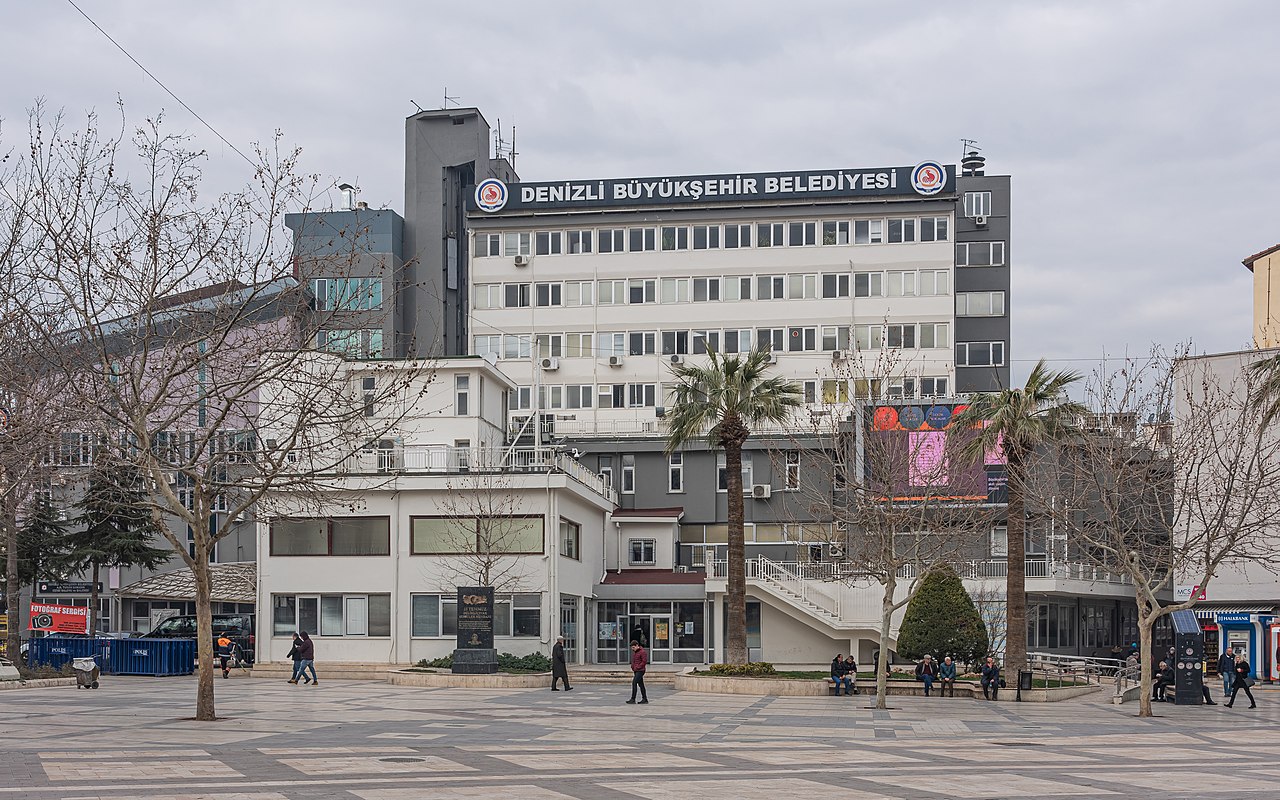
English: Town hall in Denizli, Turkey
Русский: Здание муниципалитета в Денизли, Турция |
||
| Data | |||
| Burimi | Punë e juaja | ||
| Autori | A.Savin | ||
| Leja (Ripërdor këtë skedë) |
.svg) Just attribute the author: «A.Savin, Wikipedia»; if you have questions — Telegram, or e-mail to wikiphotospace@gmail.com..svg) Просто укажите в качестве автора: «А.Савин, Википедия»; если есть вопрос — телеграм, или эл.почта на wikiphotospace@gmail.com. Kennzeichnen Sie einfach als Autor: «A.Savin, Wikipedia»; falls Sie Fragen haben — Telegram, oder E-Mail an wikiphotospace@gmail.com.
Thank you.
|
| Camera location | | View this and other nearby images on: OpenStreetMap |
|---|
Licencim
| Copyleft: Kjo punë arti është e lirë; ju mund ta rishpërndani dhe/ose modifikoni sipas kushteve të Free Art License. Jo do të gjeni një monstër të kësaj license tek sajti i Copyleft Attitude dhe në faqe të tjera interneti. |
Historiku skedës
Shtypni mbi një datë/kohë për ta parë skedën siç ishte atëherë.
| Data/Koha | Miniaturë | Përmasat | Përdoruesi | Koment | |
|---|---|---|---|---|---|
| e tanishme | 29 shkurt 2020 03:12 | | 5.215 × 3.259 (11,02 MB) | A.Savin | {{User:A.Savin/F|L=1 |Description= {{en|Town hall in Denizli, Turkey}} {{ru|Здание муниципалитета в Денизли, Турция}} |Year=2020 |Country=Turkey |Month=02 |Day=11}} {{Location|37|46|23.1|N|29|5|14|E|region:TR-20}} Category:Taken with Sony ILCE-7RM3 Category:Taken with Sony FE 24-105mm F4 G OSS Category:2020 in Denizli Category:Buildings in Denizli Category:Town halls in Turkey |
Lidhje skedash
Këto faqe lidhen tek kjo skedë:
Përdorimi global i skedës
Kjo skedë përdoret nga Wiki të tjera në vijim:
- Përdorimi në ba.wikipedia.org
- Përdorimi në br.wikipedia.org
- Përdorimi në cs.wikipedia.org
- Përdorimi në de.wikipedia.org
- Përdorimi në eo.wikipedia.org
- Përdorimi në fa.wikipedia.org
- Përdorimi në he.wikipedia.org
- Përdorimi në id.wikipedia.org
- Përdorimi në ka.wikipedia.org
- Përdorimi në mrj.wikipedia.org
- Përdorimi në nn.wikipedia.org
- Përdorimi në no.wikipedia.org
- Përdorimi në pl.wikipedia.org
- Përdorimi në pl.wikivoyage.org
- Përdorimi në pnb.wikipedia.org
- Përdorimi në ps.wikipedia.org
- Përdorimi në pt.wikipedia.org
- Përdorimi në ru.wikipedia.org
- Përdorimi në ru.wikivoyage.org
- Përdorimi në rw.wikipedia.org
- Përdorimi në sco.wikipedia.org
- Përdorimi në sh.wikipedia.org
- Përdorimi në sr.wikipedia.org
- Përdorimi në sw.wikipedia.org
- Përdorimi në th.wikipedia.org
- Përdorimi në uk.wikivoyage.org
- Përdorimi në vi.wikipedia.org
- Përdorimi në zh.wikipedia.org