Skeda:(Drémil-Lafage) Le village vu du quartier de Montauriol.jpg

Madhësia e këtij shikimi: 799 × 297 pixel. Rezolucione të tjera: 320 × 119 pixel | 640 × 238 pixel | 1.024 × 381 pixel | 1.280 × 476 pixel | 2.560 × 952 pixel | 6.680 × 2.484 pixel.
Dokument origjinal ((përmasa 6.680 × 2.484 px, madhësia skedës: 10,68 MB, lloji MIME: image/jpeg))
| Kjo skedë është prej Wikimedia Commons dhe mund të përdoret nga projekte të tjera. Përshkrimi në këtë skedë në këtë faqe nuk është treguar më poshtë. | Shko tek faqja përshkruese në Commons |
Përmbledhje
|
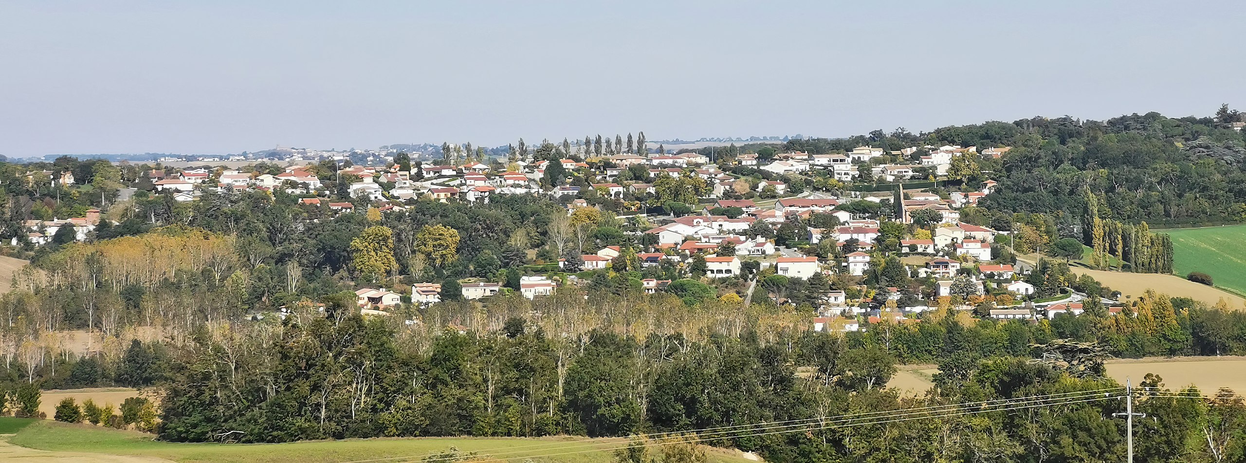
Drémil-Lafage, Haute-Garonne France - seen from the Montauriol district | |||||||||||||||||||||
|
| |||||||||||||||||||||

_Le_village_vu_du_quartier_de_Montauriol.jpg)
_-_Monument_aux_morts_du_quartier_de_Montauriol.jpg)
_Le_village_vu_du_quartier_de_Montauriol.jpg)
_Le_village_vu_du_quartier_de_Montauriol.jpg)
_Le_village_vu_du_quartier_de_Montauriol.jpg¶ms=043.585678_N_0001.586459_E_globe:Earth_type:camera_alt:277.4_source:exif_&language=sq)
_Le_village_vu_du_quartier_de_Montauriol.jpg¶ms=043.755675_N_0001.556271_E_globe:Earth_class:object_type:object_region:FR_&language=sq)
[[Category:Valued Images by Archaeodontosaurus]
Historiku skedës
Shtypni mbi një datë/kohë për ta parë skedën siç ishte atëherë.
| Data/Koha | Miniaturë | Përmasat | Përdoruesi | Koment | |
|---|---|---|---|---|---|
| e tanishme | 17 tetor 2021 19:32 | 6.680 × 2.484 (10,68 MB) | Archaeodontosaurus | {{Information |Description= |Source={{own}} |Date= |Author= Archaeodontosaurus |Permission= |other_versions= }} |
Lidhje skedash
Këto faqe lidhen tek kjo skedë:
Përdorimi global i skedës
Kjo skedë përdoret nga Wiki të tjera në vijim:
- Përdorimi në an.wikipedia.org
- Përdorimi në ca.wikipedia.org
- Përdorimi në ceb.wikipedia.org
- Përdorimi në ce.wikipedia.org
- Përdorimi në de.wikipedia.org
- Përdorimi në en.wikipedia.org
- Përdorimi në es.wikipedia.org
- Përdorimi në eu.wikipedia.org
- Përdorimi në fr.wikipedia.org
- Përdorimi në hu.wikipedia.org
- Përdorimi në it.wikipedia.org
- Përdorimi në ku.wikipedia.org
- Përdorimi në lld.wikipedia.org
- Përdorimi në nl.wikipedia.org
- Përdorimi në pl.wikipedia.org
- Përdorimi në pt.wikipedia.org
- Përdorimi në ro.wikipedia.org
- Përdorimi në ru.wikipedia.org
- Përdorimi në sk.wikipedia.org
- Përdorimi në sv.wikipedia.org
- Përdorimi në tt.wikipedia.org
- Përdorimi në uk.wikipedia.org
- Përdorimi në vec.wikipedia.org
- Përdorimi në vi.wikipedia.org
- Përdorimi në www.wikidata.org
- Përdorimi në zh-yue.wikipedia.org
- Përdorimi në zh.wikipedia.org
_Le_village_vu_du_quartier_de_Montauriol.jpg)