Skeda:Guyane department location map.svg

Size of this PNG preview of this SVG file: 497 × 600 pixel. Rezolucione të tjera: 199 × 240 pixel | 398 × 480 pixel | 637 × 768 pixel | 849 × 1.024 pixel | 1.698 × 2.048 pixel | 1.183 × 1.427 pixel.
Dokument origjinal (skedë SVG, fillimisht 1.183 × 1.427 pixel, madhësia e skedës: 433 KB)
| Kjo skedë është prej Wikimedia Commons dhe mund të përdoret nga projekte të tjera. Përshkrimi në këtë skedë në këtë faqe nuk është treguar më poshtë. | Shko tek faqja përshkruese në Commons |
Përmbledhje
| Camera location | | View this and other nearby images on: OpenStreetMap |
|---|
| Përshkrimi |
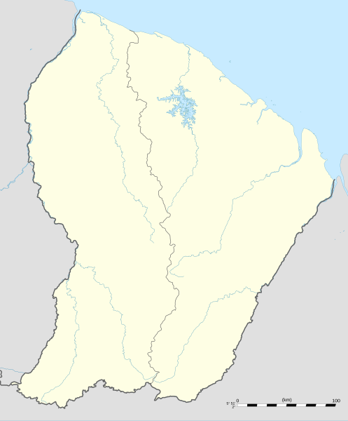
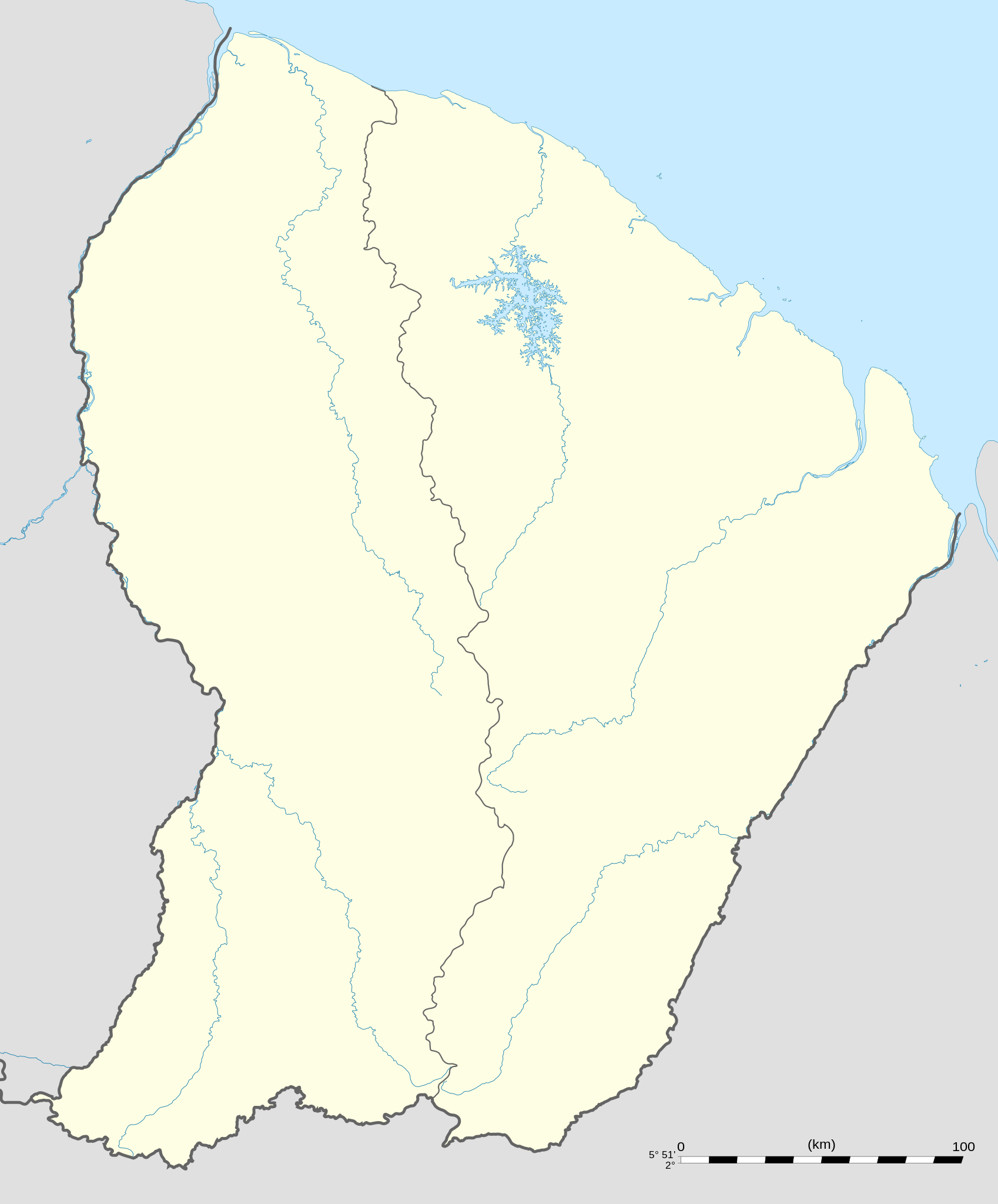
English: Blank administrative map of the region and department of the French Guiana, France, for geo-location purpose, with arrondissements boundaries.
Français : Carte administrative vierge de la région et département de Guyane, France, destinée à la géolocalisation, avec limite des arrondissements. Equirectangular projection, WGS84 datum
Geographic limits of the map:
|
||
| Data | |||
| Burimi |
Punë e juaja
|
||
| Autori | Eric Gaba (Sting - fr:Sting) | ||
| Leja (Ripërdor këtë skedë) |
|
||
| Versione tjera |
|

Licencim
Unë, krijuesi i kësaj pune, e publikoj këtu në bazë të licensës në vijim:
Kjo skedë licencohet sipas Creative Commons Attribution-Share Alike 3.0 Unported.
- Je i lirë të:
- ta shpërndani – ta kopjoni, rishpërndani dhe përcillni punën
- t’i bëni “remix” – të përshtatni punën
- Sipas kushteve të mëposhtme:
- atribuim – Duhet t’i jepni meritat e duhura, të siguroni një lidhje për tek licenca dhe të tregoni nëse janë bërë ndryshime. Këtë mund ta bëni në ndonjë mënyrë të arsyeshme, por jo në ndonjë mënyrë që sugjeron se licencuesi ju del zot juve apo përdorimit tuaj.
- share alike – Nëse bëni një “remix”, e shndërroni, ose ndërtoni duke u bazuar te materiali, duhet t’i shpërndani kontributet tuaja sipas të njëjtës licencë ose një të tille të përputhshme me origjinalen.

|
Ju jepet leje për ta kopjuar, shpërndarë dhe/ose ndryshuar këtë dokument sipas kushteve të Licencës GNU për Dokumentim të Lirë, versioni 1.2 ose çfarëdo versioni të mëpasshëm të botuar nga Free Software Foundation; pa Seksione të Pandryshueshme, pa Tekste Kapakësh të Përparmë, dhe pa Tekste Kapakësh të Pasmë. Një kopje e kësaj licence është përfshirë në seksionin e titulluar GNU Free Documentation License. |
Mundeni të përzgjidhni licencën që doni.
Historiku skedës
Shtypni mbi një datë/kohë për ta parë skedën siç ishte atëherë.
| Data/Koha | Miniaturë | Përmasat | Përdoruesi | Koment | |
|---|---|---|---|---|---|
| e tanishme | 19 shtator 2008 02:18 | | 1.183 × 1.427 (433 KB) | Sting | == Summary == {{Location|03|55|30|N|53|06|00|W|scale:4000000}} <br/> {{Information |Description={{en|Blank administrative map of the region and department of the French Guiana, France, for geo-location purpose, with distinct boundari |
Lidhje skedash
Këto faqe lidhen tek kjo skedë:
Përdorimi global i skedës
Kjo skedë përdoret nga Wiki të tjera në vijim:
- Përdorimi në af.wikipedia.org
- Përdorimi në als.wikipedia.org
- Përdorimi në an.wikipedia.org
- Përdorimi në ar.wikipedia.org
- Përdorimi në ast.wikipedia.org
- Përdorimi në be-tarask.wikipedia.org
- Përdorimi në be.wikipedia.org
- Përdorimi në bg.wikipedia.org
- Përdorimi në bs.wikipedia.org
- Përdorimi në ca.wikipedia.org
- Përdorimi në ceb.wikipedia.org
- Plantilya:Location map French Guiana
- Rocky Point
- Mana (pagklaro)
- Montravel
- Saint-Georges (pagklaro)
- Canal de l'Écluse
- Kourou (pagklaro)
- Kouro
- Canal de l'Ouest
- Crique Coco
- Devils Island
- Kayen
- White Rocks
- Tako
- Cascade River
- Bonnet Rock
- Monkey Mountain
- Kouloumouli Itou
- Rio Oiapoque
- Îlet Alice
- Saut Moura
- Grand Lac
- French Point
- Pointe Française
- Yaou
- Roches Blanches
- Les Mamelles
- Maroni
- Anse de l'Hôpital
- Anse de l'Hopital
- Branche Nord
- Branche Sud
- Crique Alphonse
Shikoni më shumë përdorim global të kësaj skede.