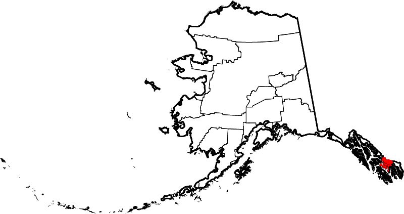
Skeda:Map of Alaska highlighting Wrangell City and Borough.svg

Size of this PNG preview of this SVG file: 800 × 423 pixel. Rezolucione të tjera: 320 × 169 pixel | 640 × 338 pixel | 1.024 × 541 pixel | 1.280 × 677 pixel | 2.560 × 1.353 pixel | 1.470 × 777 pixel.
Dokument origjinal (skedë SVG, fillimisht 1.470 × 777 pixel, madhësia e skedës: 644 KB)
| Kjo skedë është prej Wikimedia Commons dhe mund të përdoret nga projekte të tjera. Përshkrimi në këtë skedë në këtë faqe nuk është treguar më poshtë. | Shko tek faqja përshkruese në Commons |
Përmbledhje
| Përshkrimi | |
| Data | |
| Burimi | Punë e juaja |
| Autori | Dtbohrer |
| Versione tjera |
 |
| SVG genesis |
Licencim
| Unë,krijuesi i kësaj pune, e lëshoj këtë punë në public domain. Kjo aplikohet në të gjithë botën. Në disa vende kjo mund të mos jetë e mundur ligjërisht; nëse është kështu: Unë i garantoj çdokujt të drejtën për ta përdorur këtë punë për çdo qëllim, pa asnjë kusht, përveç rasteve kur këto kushte janë të kërkuara nga ligji. |
Historiku skedës
Shtypni mbi një datë/kohë për ta parë skedën siç ishte atëherë.
| Data/Koha | Miniaturë | Përmasat | Përdoruesi | Koment | |
|---|---|---|---|---|---|
| e tanishme | 25 qershor 2024 22:11 | | 1.470 × 777 (644 KB) | Nux | uniform colors with good contrast |
| 26 janar 2009 00:12 |  | 1.470 × 777 (412 KB) | Niagara | {{Information |Description={{en|1=Map of Alaska highlighting Wrangell City and Borough}} |Source=self made |Author=Dtbohrer |Date=January 25, 2009 |Permission= |other_versions=[[File:Map of Alaska high |
Lidhje skedash
S’ka faqe që përdorin këtë kartelë.
Përdorimi global i skedës
Kjo skedë përdoret nga Wiki të tjera në vijim:
- Përdorimi në ar.wikipedia.org
- Përdorimi në arz.wikipedia.org
- Përdorimi në ca.wikipedia.org
- Përdorimi në cy.wikipedia.org
- Përdorimi në en.wikipedia.org
- List of boroughs and census areas in Alaska
- Meyers Chuck, Wrangell
- Wrangell, Alaska
- Clarence Strait
- Frederick Sound
- Sumner Strait
- Zimovia Strait
- Etolin Island
- Wikipedia:WikiProject Alaska
- Zarembo Island
- Woronkofski Island
- Wrangell Island
- User:Nyttend/County templates/AK
- St. Philip's Episcopal Church (Wrangell, Alaska)
- Kadin Island
- Boundary Range
- Template:WrangellAK-geo-stub
- National Register of Historic Places listings in Wrangell, Alaska
- Stikine Strait
- Deer Island (Alaska Panhandle)
- Bradfield Canal
- Blake Channel
- The Narrows (Alaska)
- Eastern Passage (Alaska)
- Chichagof Pass
- Thoms Place, Wrangell
- Etolin Canoe
- Brownson Island
- Vixen Inlet
- Template:Wrangell Borough, Alaska
- Judith Ann
- Chief Shakes Historic Site
- Sergief Island
- Muffin Islands
- File talk:Map of Alaska highlighting Wrangell City and Borough.svg
- Përdorimi në es.wikipedia.org
- Përdorimi në eu.wikipedia.org
- Përdorimi në fa.wikipedia.org
- Përdorimi në fi.wikipedia.org
- Përdorimi në fr.wikipedia.org
- Përdorimi në ga.wikipedia.org
- Përdorimi në ht.wikipedia.org
- Përdorimi në hu.wikipedia.org
Shikoni më shumë përdorim global të kësaj skede.