Skeda:Northern macva03 map.png

Madhësia e këtij shikimi: 769 × 599 pixel. Rezolucione të tjera: 308 × 240 pixel | 616 × 480 pixel | 985 × 768 pixel | 1.280 × 998 pixel | 1.324 × 1.032 pixel.
Dokument origjinal ((përmasa 1.324 × 1.032 px, madhësia skedës: 62 KB, lloji MIME: image/png))
| Kjo skedë është prej Wikimedia Commons dhe mund të përdoret nga projekte të tjera. Përshkrimi në këtë skedë në këtë faqe nuk është treguar më poshtë. | Shko tek faqja përshkruese në Commons |
Përmbledhje
| Përshkrimi |
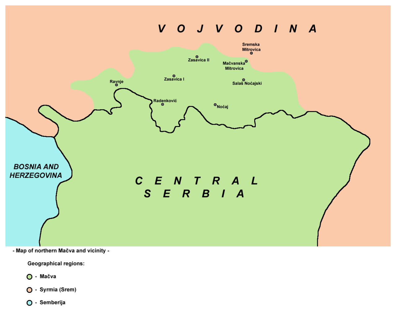
English: Map of northern Mačva region and vicinity.
Српски / srpski: Mapa severne Mačve sa okolinom. |
| Data | 9 shkurt 2009 (original upload date) |
| Burimi | No machine-readable source provided. Own work assumed (based on copyright claims). |
| Autori | No machine-readable author provided. PANONIAN assumed (based on copyright claims). |
Source and licence
self made map by user:PANONIAN
Licencim
| Unë,krijuesi i kësaj pune, e lëshoj këtë punë në public domain. Kjo aplikohet në të gjithë botën. Në disa vende kjo mund të mos jetë e mundur ligjërisht; nëse është kështu: Unë i garantoj çdokujt të drejtën për ta përdorur këtë punë për çdo qëllim, pa asnjë kusht, përveç rasteve kur këto kushte janë të kërkuara nga ligji. |
References
- Slobodan Radovanović, Geografski atlas, Magic Map, Smederevska Palanka, 2001.
- Denis Šehić - Demir Šehić, Školski geografski atlas Srbije, Beograd, 2007.
- Geografski atlas, Intersistem Kartografija, Beograd, 2004.
- Milovan Radovanović, Kosovo i Metohija - antropogeografske, istorijskogeografske, demografske i geopolitičke osnove, Beograd, 2008.
- Popis stanovništva, domaćinstava i stanova u 2002, Stanovništvo, knjiga 1, Nacionalna ili etnička pripadnost - Podaci po naseljima, Republika Srbija, Republički zavod za statistiku, Beograd, februar 2003.
- http://crnabara.com/c%20bara/kartacb.jpg
- http://www.hidmet.gov.rs/slike_lat/podzemne/7NP.gif
- http://www.hidmet.gov.rs/slike_lat/podzemne/mp20018.jpg
- http://www.akvakamp.org.rs/images/Mapa-SREM-DUNAV-SAVA1.jpg
- http://www.381info.com/paketi/3243/mapa.gif
Historiku skedës
Shtypni mbi një datë/kohë për ta parë skedën siç ishte atëherë.
| Data/Koha | Miniaturë | Përmasat | Përdoruesi | Koment | |
|---|---|---|---|---|---|
| e tanishme | 2 qershor 2011 21:33 | | 1.324 × 1.032 (62 KB) | PANONIAN | Reverted to version as of 17:16, 31 May 2011 - trying to fix thumbnail error |
| 2 qershor 2011 21:31 |  | 603 × 479 (14 KB) | PANONIAN | Reverted to version as of 23:20, 9 February 2009 - trying to fix thumbnail error | |
| 31 maj 2011 19:16 |  | 1.324 × 1.032 (62 KB) | PANONIAN | improved version | |
| 10 shkurt 2009 01:20 |  | 603 × 479 (14 KB) | PANONIAN | map of northern Mačva region (self made) {{PD-self}} Category:Maps of geographical regions of Vojvodina Category:Maps of geographical regions of Serbia |
Lidhje skedash
Këto faqe lidhen tek kjo skedë:
Përdorimi global i skedës
Kjo skedë përdoret nga Wiki të tjera në vijim:
- Përdorimi në de.wikipedia.org
- Përdorimi në en.wikipedia.org
- Përdorimi në eo.wikipedia.org
- Përdorimi në sh.wikipedia.org
- Përdorimi në sr.wikipedia.org