Skeda:OttomanEmpire1801.jpg
Dokument origjinal ((përmasa 1.638 × 1.296 px, madhësia skedës: 605 KB, lloji MIME: image/jpeg))
| Kjo skedë është prej Wikimedia Commons dhe mund të përdoret nga projekte të tjera. Përshkrimi në këtë skedë në këtë faqe nuk është treguar më poshtë. | Shko tek faqja përshkruese në Commons |

Përmbledhje
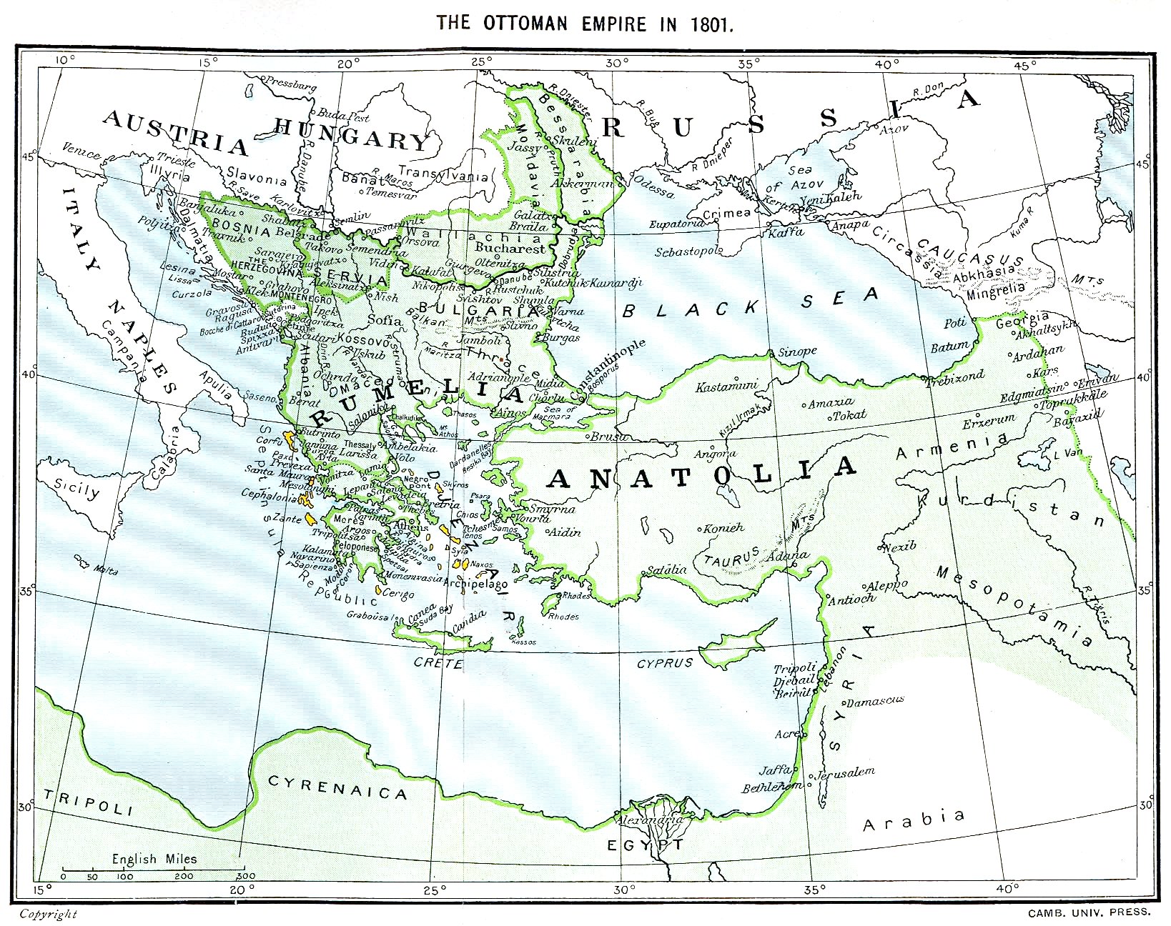
Ottoman Empire (green) and Septinsular Republic (yellow) in 1801.
Licencim
|
This work is in the public domain in its country of origin and other countries and areas where the copyright term is the author's life plus 70 years or fewer.
| |
| Kjo skedë është identifikuar si e lirë e kufizimeve të panjohura në ligjin e të drejtave të autorit, duke përfshirë të gjitha të drejtat e lidhura dhe fqinje. | |
Historiku skedës
Shtypni mbi një datë/kohë për ta parë skedën siç ishte atëherë.
| Data/Koha | Miniaturë | Përmasat | Përdoruesi | Koment | |
|---|---|---|---|---|---|
| e tanishme | 11 janar 2023 18:06 | | 1.638 × 1.296 (605 KB) | Enyavar | Reverted to version as of 08:56, 11 March 2006 (UTC) --> even if they are wrong, don't change historical maps! |
| 3 shkurt 2014 19:48 |  | 1.638 × 1.296 (518 KB) | Spiridon Ion Cepleanu | Some little changes according with the 1801 situation : The Septinsular Rep. includes Ionian Is., not the Cyclades, Serbia became autonomous 1817... | |
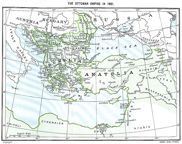
| 11 mars 2006 10:56 |  | 1.638 × 1.296 (605 KB) | Julo | Ottoman Empire (green) & Septinsular Republic (yellow) in 1801, on the 19th century map {{PD-old}} category:19th century mapsCategory:Historical maps of the Middle EastCategory:Historical maps of the Balkans[[Category:Historical maps of Africa |
Lidhje skedash
Këto faqe lidhen tek kjo skedë:
Përdorimi global i skedës
Kjo skedë përdoret nga Wiki të tjera në vijim:
- Përdorimi në azb.wikipedia.org
- Përdorimi në ba.wikipedia.org
- Përdorimi në el.wikipedia.org
- Përdorimi në fr.wikipedia.org
- Përdorimi në hy.wikipedia.org
- Përdorimi në la.wikipedia.org
- Përdorimi në pl.wikipedia.org
- Përdorimi në sv.wikipedia.org
- Përdorimi në uk.wikipedia.org